

Mapdirector
Loading
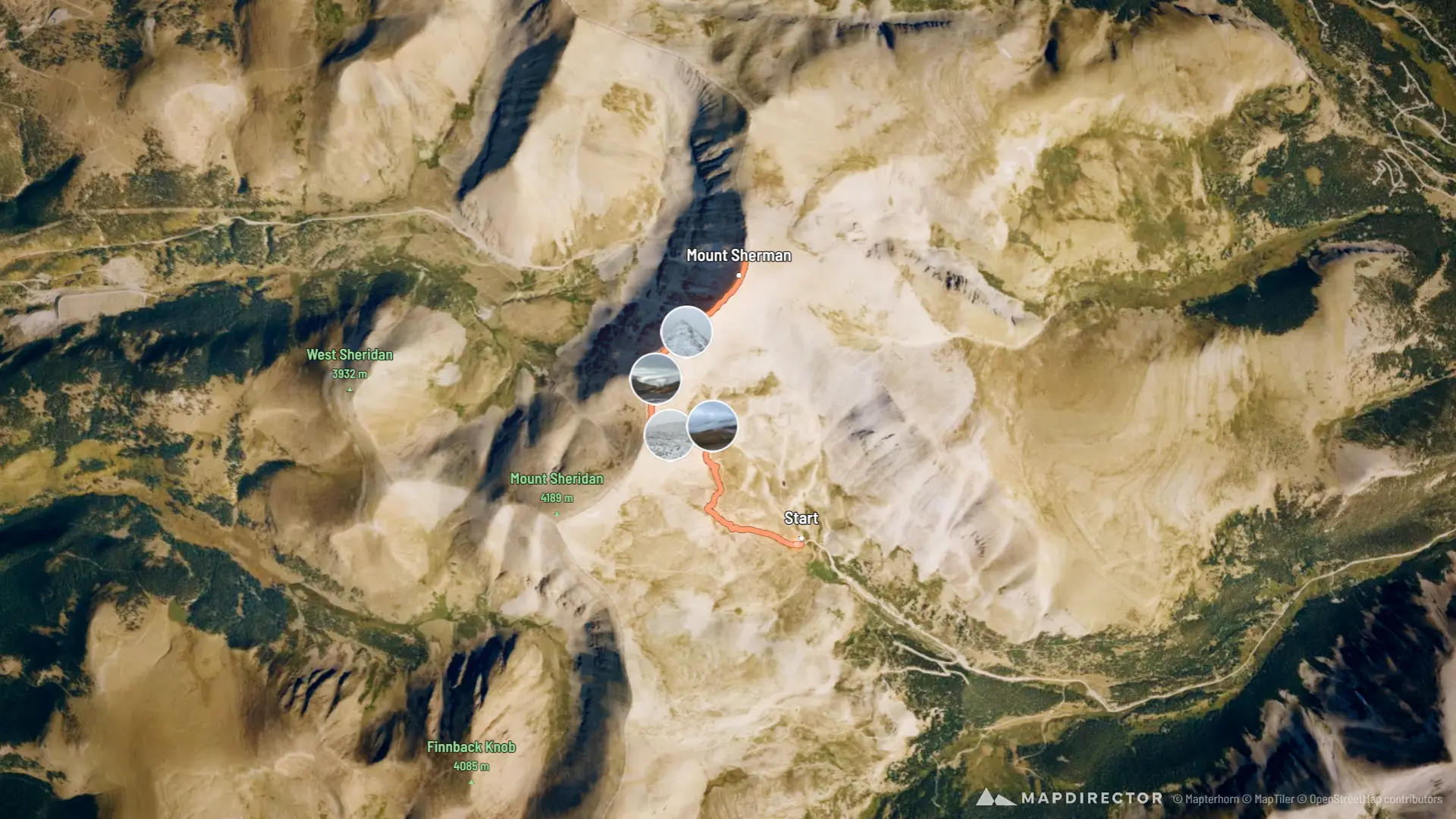
Mount Shermanby Ray Van Dolson

Hike

Mount Sherman

Sep 25, 2026

Mapped by

Ray Van Dolson

The timeline

By the numbers

Distance
4.71 mi
Ascent
1,981 ft
Descent
1,956 ft
Moving time
3h 34m

Elevation profile

12,028 ft → 14,021 ft

Drag across the profile to follow the route on the map.

More stats
Avg speed (moving)
1.3 mph
Avg speed
1.0 mph
Time
4h 45m

Enjoyed this

Send it to someone

Your turn

Make a page like this from your own track

More from this explorer

See where else Ray Van Dolson has been

Powered byMapdirector
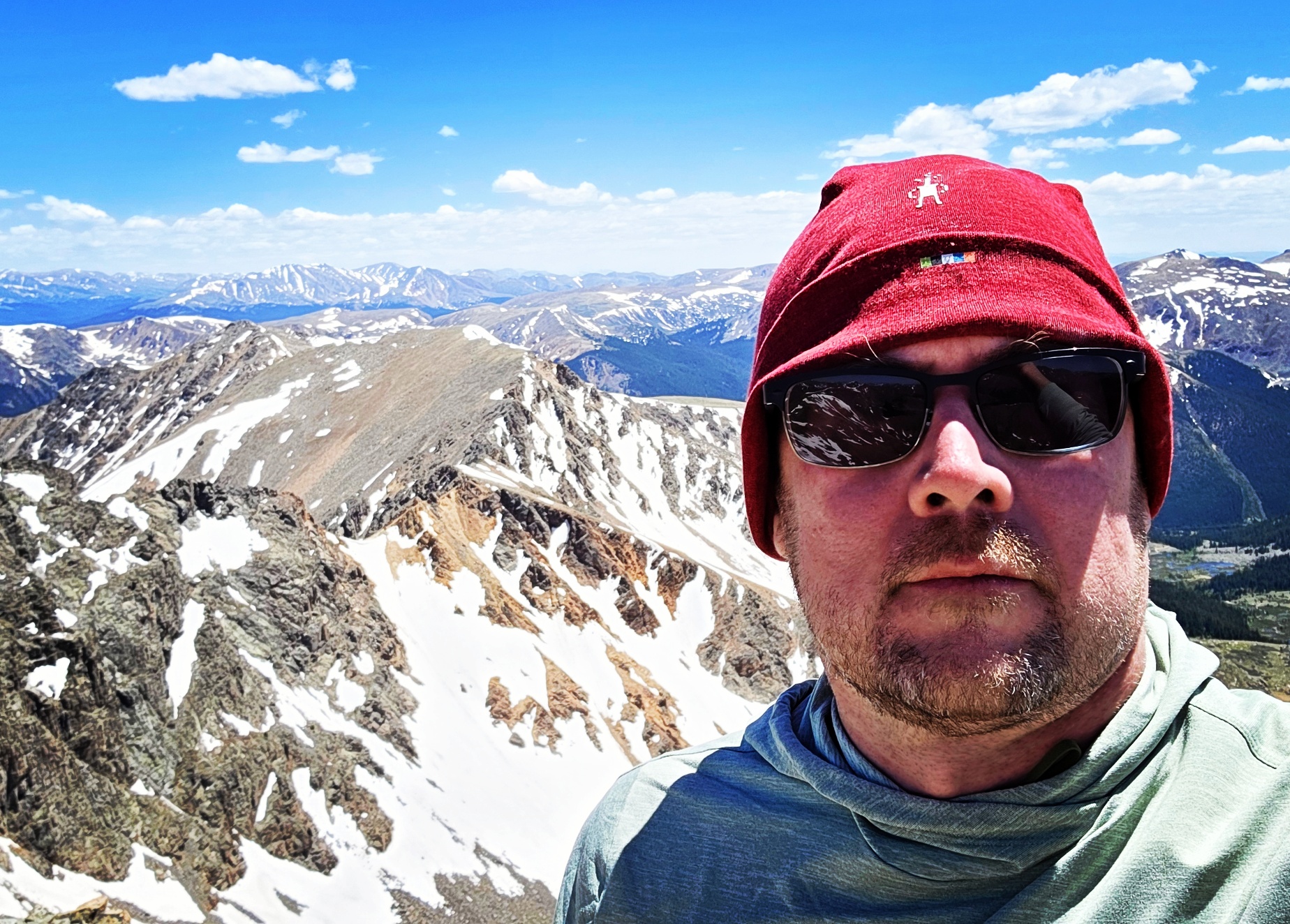
  1. Fri, Sep 25Before the start·06:18

    06:18

  2. Fri, Sep 25 · 2 photos1.01 mi · 21%·07:19

    07:19

  3. Fri, Sep 251.27 mi · 27%·07:29

    07:29

  4. Fri, Sep 251.42 mi · 30%·07:40

    07:40

  5. Fri, Sep 25 · 2 photos1.55 mi · 33%·07:53

    07:53 – 08:03

  6. Fri, Sep 251.68 mi · 36%·08:04

    08:04

  7. Fri, Sep 251.96 mi · 42%·08:29

    08:29

  8. Fri, Sep 252.37 mi · 50%·08:53

    08:53

  9. Fri, Sep 253.12 mi · 66%·10:01

    10:01

  10. Fri, Sep 253.37 mi · 71%·10:21

    10:21

  11. Fri, Sep 254.70 mi · 100%·11:11

    11:11