

Loading
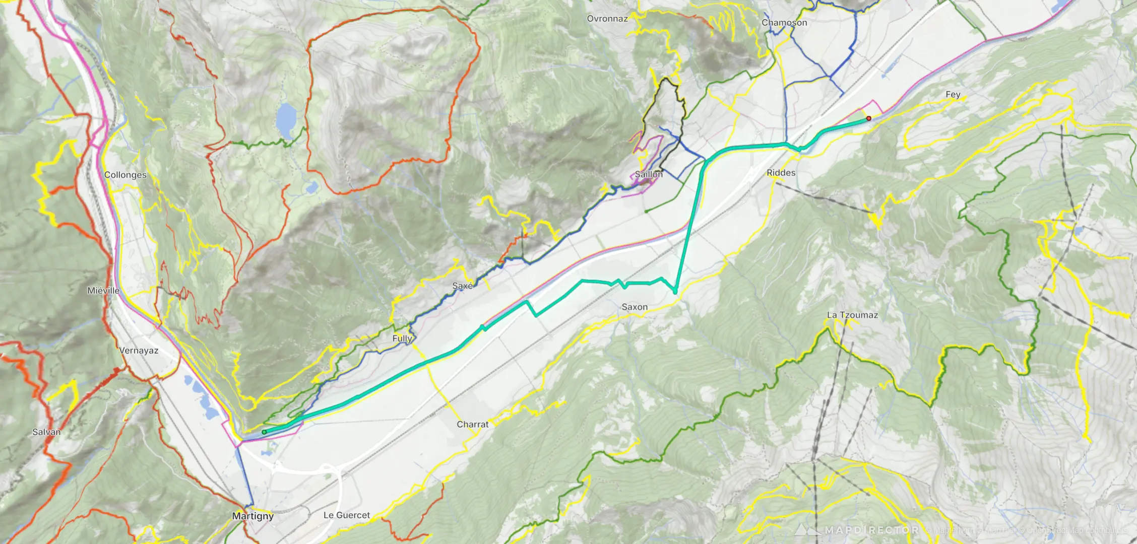
Hike
New route
Oct 21, 2026

Mapped by
Mapdirector
By the numbers
- Distance
- 17.8 km
- Ascent
- 61 m
- Descent
- 48 m
- Moving time
- 4h 27m
Elevation profile
458 m → 519 m
Drag across the profile to follow the route on the map.
More stats
- Avg speed (moving)
- 4.0 km/h
- Avg speed
- 3.8 km/h
- Time
- 4h 42m