

Multi-day Hike
Nockberge Trail 2026
The story
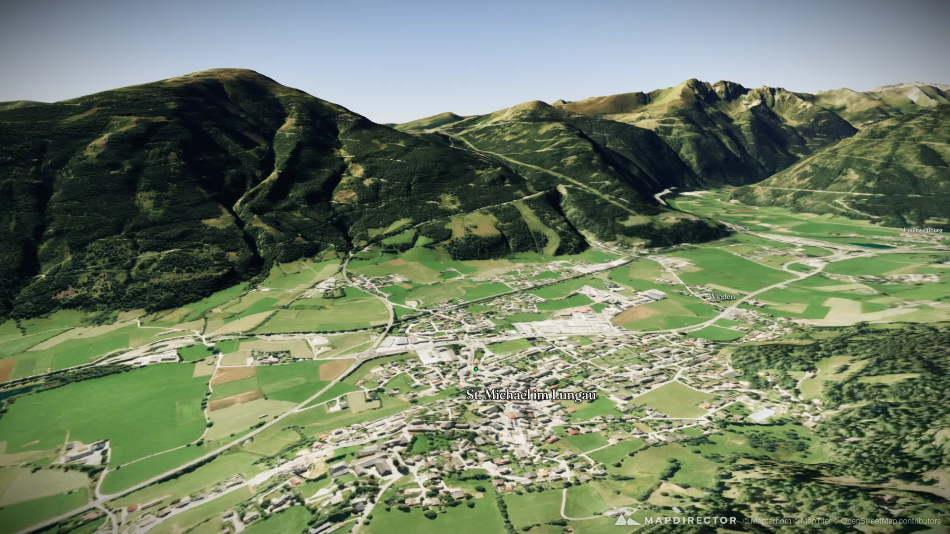
The Nockberge are among the oldest mountains in the Eastern Alps, shaped over around 60 million years into the gentle, rounded peaks that give the region its distinctive character. Rising to nearly 2,500 metres, they combine wide alpine meadows, stone pine forests and panoramic ridgelines with very little technical infrastructure, qualities that helped lead to the creation of today’s UNESCO Biosphere Reserve. The Nockberge Trail crosses this protected landscape over eight stages from Katschberg in the north to Seeboden on Lake Millstatt in the south, following scenic ridges, summits and traditional alpine pastures. It is especially well suited to long-distance hikers who prefer technically moderate trails without exposed sections, but who are comfortable with days of up to seven hours. A mix of cosy mountain huts and comfortable hotels, together with the final reward of Lake Millstatt, makes the route both adventurous and relaxed.
The timeline
By the numbers
- Distance
- 146 km
- Ascent
- 7,355 m
- Descent
- 7,773 m
- Moving time
- 1d 20h 39m
Elevation profile
596 m → 2,336 m
Drag across the profile to follow the route on the map.
More stats
- Avg speed (moving)
- 3.3 km/h
- Avg speed
- 2.8 km/h
- Time
- 2d 03h 36m
- Avg cadence
- 53 rpm
Per leg
Sankt Michael im Lungau Hike
- Distance
- 16.5 km
- Ascent
- 1,203 m
- Descent
- 525 m
- Moving
- 4h 50m
- Avg speed
- 3.4 km/h
- Avg cadence
- 50 rpm
Rennweg am Katschberg Hike
- Distance
- 18.4 km
- Ascent
- 816 m
- Descent
- 968 m
- Moving
- 5h 34m
- Avg speed
- 3.3 km/h
- Avg cadence
- 53 rpm
Krems in Kärnten Hike
- Distance
- 22.3 km
- Ascent
- 1,030 m
- Descent
- 802 m
- Moving
- 6h 53m
- Avg speed
- 3.2 km/h
- Avg cadence
- 53 rpm
Reichenau Hike
- Distance
- 19.8 km
- Ascent
- 1,260 m
- Descent
- 1,169 m
- Moving
- 6h 48m
- Avg speed
- 2.9 km/h
- Avg cadence
- 54 rpm
Reichenau Hike
- Distance
- 10.9 km
- Ascent
- 432 m
- Descent
- 1,232 m
- Moving
- 3h 39m
- Avg speed
- 3.0 km/h
- Avg cadence
- 55 rpm
Bad Kleinkirchheim Hike
- Distance
- 16.8 km
- Ascent
- 1,255 m
- Descent
- 683 m
- Moving
- 5h 46m
- Avg speed
- 2.9 km/h
- Avg cadence
- 55 rpm
Radenthein Hike
- Distance
- 23.0 km
- Ascent
- 1,064 m
- Descent
- 821 m
- Moving
- 6h 14m
- Avg speed
- 3.7 km/h
- Avg cadence
- 53 rpm
Millstatt Hike
- Distance
- 18.4 km
- Ascent
- 294 m
- Descent
- 1,572 m
- Moving
- 4h 51m
- Avg speed
- 3.8 km/h
- Avg cadence
- 54 rpm