

Loading
Multi-day Hike
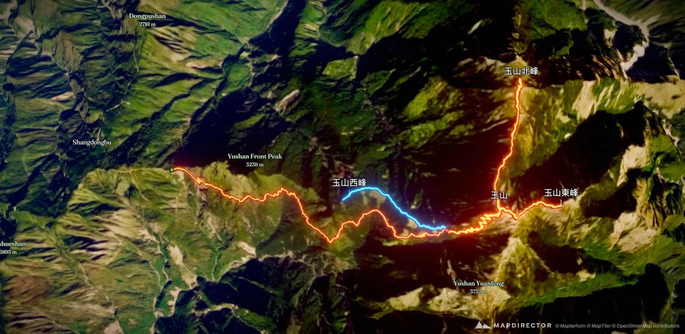
玉山主北東西
May 1, 2026 – May 2, 2026

Mapped by
HSIN-HUNG YEH
The timeline
By the numbers
- Distance
- 33.8 km
- Ascent
- 2,429 m
- Descent
- 2,387 m
- Moving time
- 15h 15m
Elevation profile
2,589 m → 3,929 m
Drag across the profile to follow the route on the map.
More stats
- Avg speed (moving)
- 2.2 km/h
- Avg speed
- 1.5 km/h
- Time
- 21h 52m
- Avg heart rate
- 129 bpm
- Max heart rate
- 161 bpm
- Avg cadence
- 56 rpm
- Avg temperature
- 21.1 °C
Per leg
玉山主北東西
- Distance
- 13.5 km
- Ascent
- 1,094 m
- Descent
- 276 m
- Moving
- 5h 13m
- Avg speed
- 2.6 km/h
- Avg HR
- 130 bpm
- Max HR
- 161 bpm
- Avg cadence
- 54 rpm
- Avg temp
- 22.2 °C
玉山北主東峰
- Distance
- 20.3 km
- Ascent
- 1,335 m
- Descent
- 2,111 m
- Moving
- 10h 02m
- Avg speed
- 2.0 km/h
- Avg HR
- 128 bpm
- Max HR
- 160 bpm
- Avg cadence
- 57 rpm
- Avg temp
- 20.5 °C