

Mapdirector
Loading
Philmont 2026by Earl Ricks

Hike

Philmont 2026

Jul 1, 2026 – Jul 2, 2026

Mapped by

Earl Ricks

The timeline

By the numbers

Distance
14.3 mi
Ascent
2,624 ft
Descent
599 ft
Moving time
6h 51m

Elevation profile

6,480 ft → 8,706 ft

Drag across the profile to follow the route on the map.

More stats
Avg speed (moving)
2.1 mph
Avg speed
1.0 mph
Time
14h 58m
Avg cadence
50 rpm

Per leg

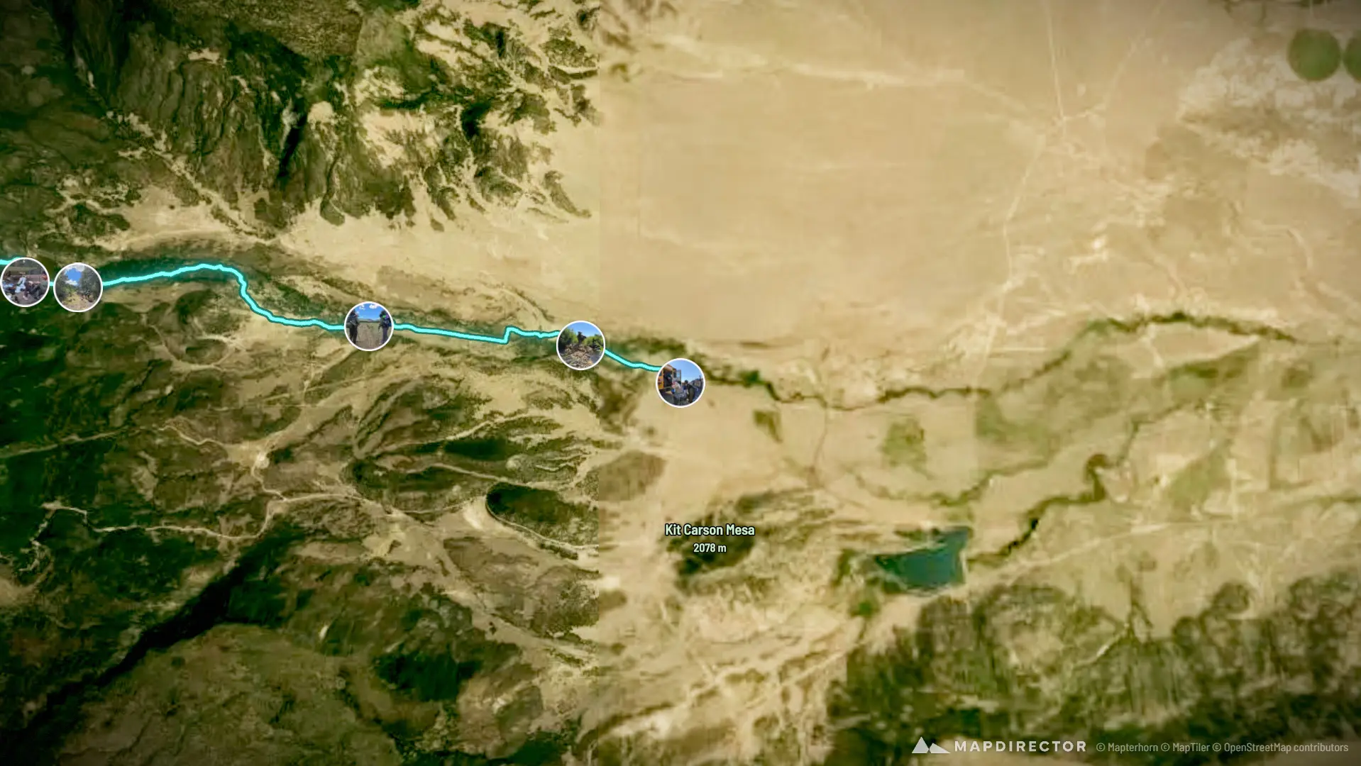
  • Day2 - Rayado to Rimrock Park

    Distance
    5.52 mi
    Ascent
    832 ft
    Descent
    13 ft
    Moving
    2h 22m
    Avg speed
    2.3 mph
    Avg cadence
    49 rpm
  • Day3 - Rimrock to Fish Camp

    Distance
    8.28 mi
    Ascent
    1,760 ft
    Descent
    385 ft
    Moving
    4h 11m
    Avg speed
    2.0 mph
    Avg cadence
    53 rpm
  • Rimrock to Abreu

    Distance
    0.51 mi
    Ascent
    32 ft
    Descent
    201 ft
    Moving
    16m 42s
    Avg speed
    1.9 mph
    Avg cadence
    38 rpm

Enjoyed this

Send it to someone

Your turn

Make a page like this from your own track

Powered byMapdirector
  1. Leg 1Day2 - Rayado to Rimrock Park5.52 mi
    1. Before the start·08:05

      08:05

    2. Before the start·08:47

      08:47

    3. What's aheadWed, Jul 1·09:14

    4. 0.88 mi · 6%·10:03

      10:03

    5. 2.47 mi · 17%·11:51

      11:51

    6. 2.67 mi · 19%·12:35

      12:35

    7. 5.11 mi · 36%·14:30

      14:30

    8. Distance
      5.52mi
      Ascent
      832ft
      Time
      5h 41m
    9. After the finish·16:13

      16:13

    10. After the finish·16:45

      16:45

    11. After the finish·19:27

      19:27

    12. After the finish·20:20

      20:20

  2. Leg 2Rimrock to Abreu0.51 mi
    1. What's aheadThu, Jul 2·06:02

    2. 14.3 mi · 100%·06:46

      06:46

  3. Leg 3Day3 - Rimrock to Fish Camp8.28 mi
    1. Before the start·05:49

      05:49

    2. Before the start·06:02

      06:02

    3. 2 photosBefore the start·06:18

      06:18

    4. What's aheadThu, Jul 2·07:11

    5. 6.94 mi · 48%·08:19

      08:19

    6. 7.71 mi · 54%·09:07

      09:07

    7. 4 photos8.15 mi · 57%·09:36

      09:36 – 09:44

    8. 8.15 mi · 57%·09:55

      09:55

    9. 9.95 mi · 69%·11:38

      11:38

    10. 10.1 mi · 71%·11:58

      11:58

    11. 13.8 mi · 96%·20:27

      20:27

    12. Distance
      8.28mi
      Ascent
      1,760ft
      Time
      8h 57m
    13. After the finish·18:56

      18:56

    14. After the finish·20:15

      20:15

    15. After the finish·21:26

      21:26

  4. Not on the route

    These photos have no position on the route.