

Loading
Hike
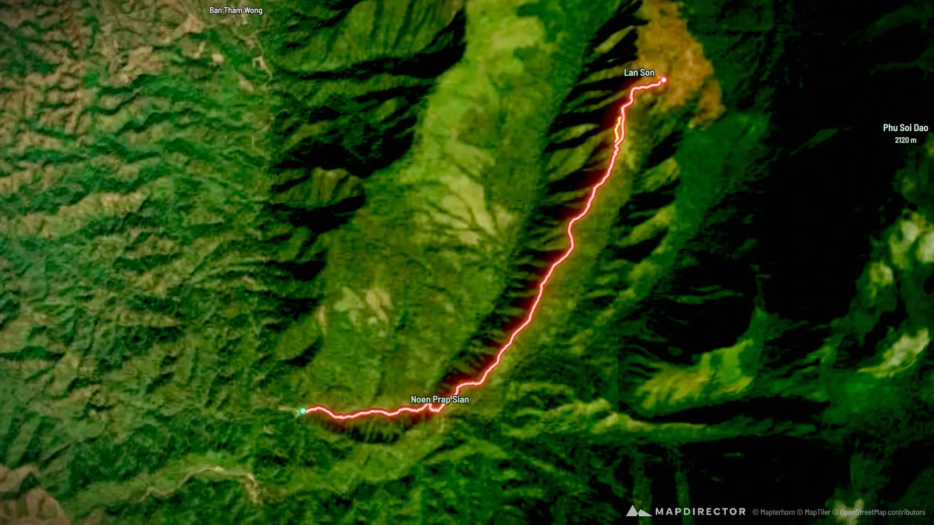
Phu soi dao National Park
Sep 11, 2026 – Sep 13, 20263/ 5

The timeline
By the numbers
- Distance
- 15.2 km
- Ascent
- 973 m
- Descent
- 954 m
- Moving time
- 7h 04m
Elevation profile
663 m → 1,612 m
Drag across the profile to follow the route on the map.
More stats
- Avg speed (moving)
- 2.1 km/h
- Avg speed
- 1.3 km/h
- Time
- 11h 38m
- Avg cadence
- 52 rpm
Per leg
น้ำปาด การเดินเขา
- Distance
- 8.33 km
- Ascent
- 957 m
- Descent
- 11 m
- Moving
- 4h 03m
- Avg speed
- 2.1 km/h
- Avg cadence
- 49 rpm
ชาติตระการ การเดินเขา
- Distance
- 6.88 km
- Ascent
- 16 m
- Descent
- 943 m
- Moving
- 3h 01m
- Avg speed
- 2.3 km/h
- Avg cadence
- 53 rpm