

Loading
Pic de Hourgade depuis les Granges d'Astauby Christophe
Trail Run
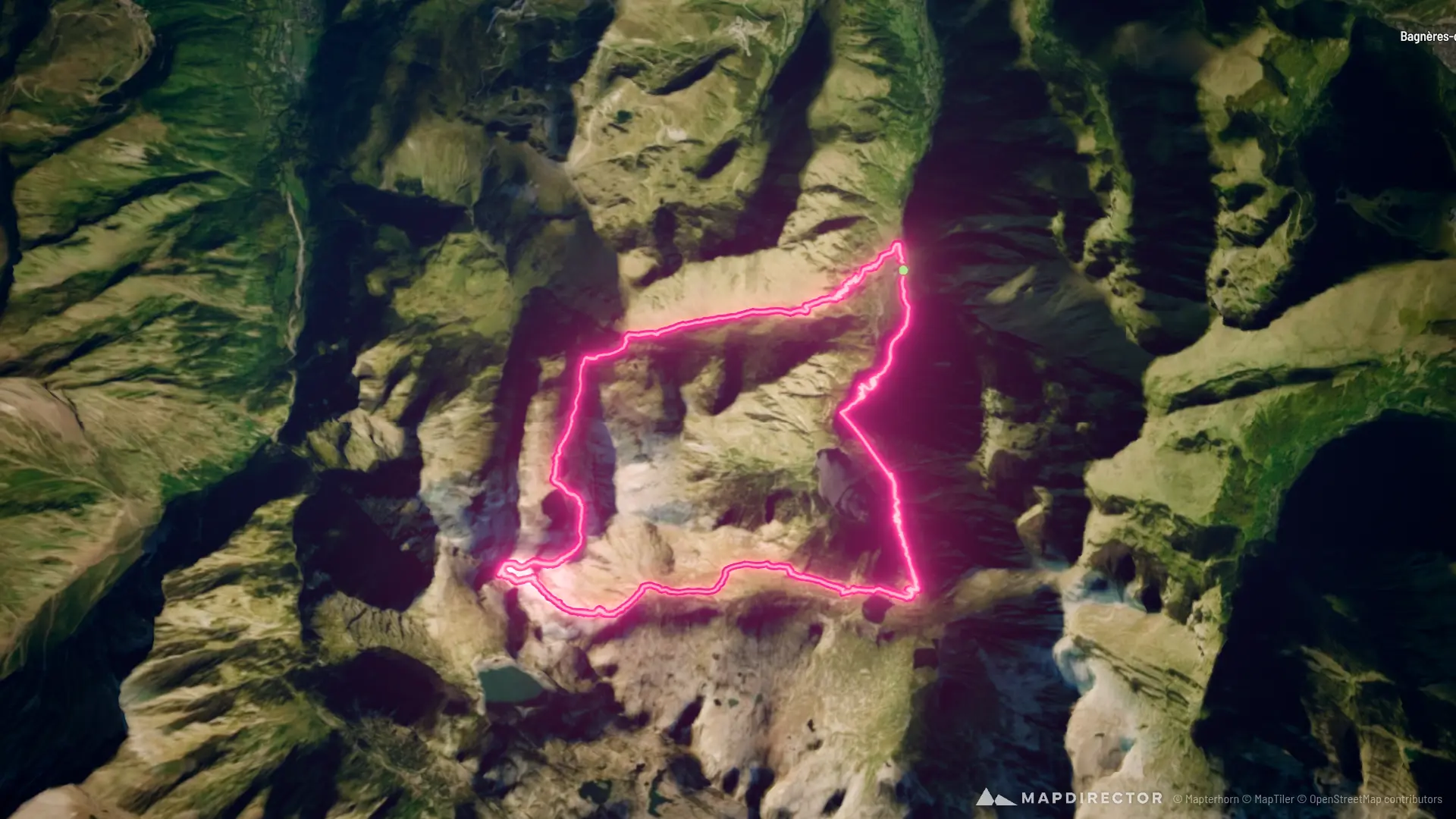
Pic de Hourgade depuis les Granges d'Astau
Oct 11, 2026
By the numbers
- Distance
- 20.3 km
- Ascent
- 1,938 m
- Descent
- 1,939 m
- Moving time
- 5h 21m
Elevation profile
1,129 m → 2,968 m
Drag across the profile to follow the route on the map.
More stats
- Avg speed (moving)
- 3.8 km/h
- Avg speed
- 3.0 km/h
- Time
- 6h 47m
- Avg cadence
- 73 rpm