

Loading
Multi-day Hike
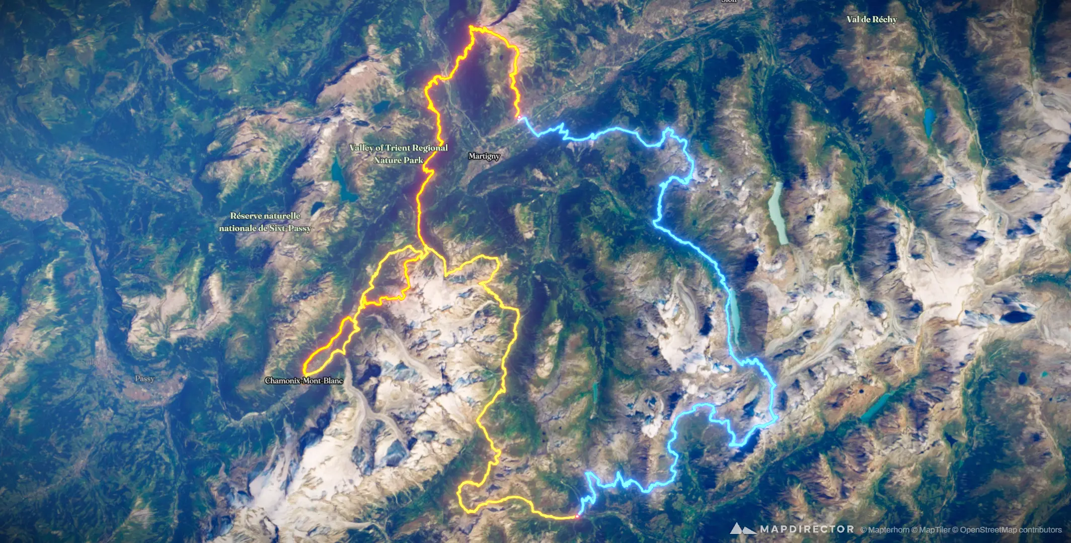
PTL26

Mapped by
Toni Laurila
The timeline
By the numbers
- Distance
- 287 km
- Ascent
- 23,333 m
- Descent
- 23,325 m
- Moving time
- -
Elevation profile
449 m → 3,255 m
Drag across the profile to follow the route on the map.
More stats
Per leg
PTL26-1
- Distance
- 80.4 km
- Ascent
- 7,188 m
- Descent
- 7,759 m
- Moving
- -
PTL26-2
- Distance
- 119 km
- Ascent
- 9,491 m
- Descent
- 8,427 m
- Moving
- -
PTL26-3
- Distance
- 88.0 km
- Ascent
- 6,655 m
- Descent
- 7,138 m
- Moving
- -