

Loading
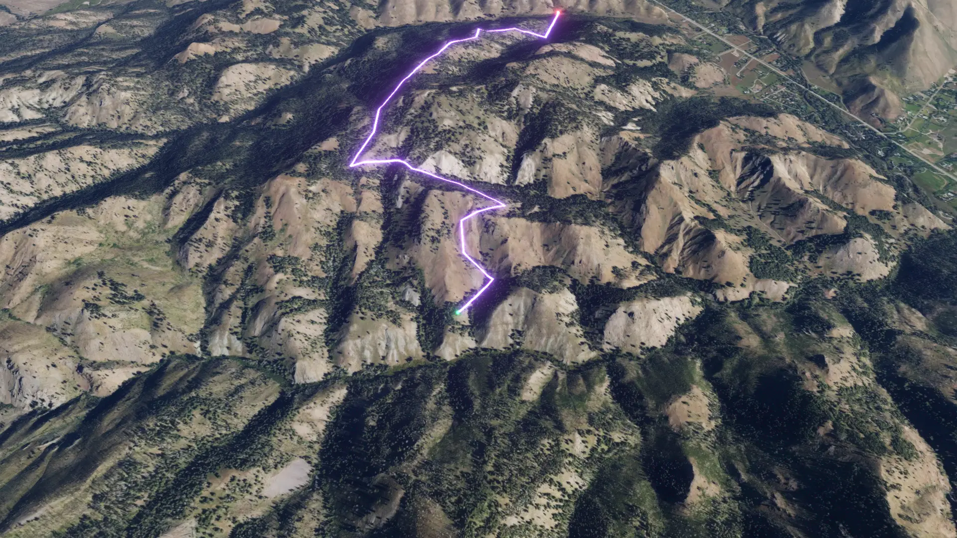
Route 09/10/25, 18:45
Multi-day Hike
Route 09/10/25, 18:45
The timeline
By the numbers
- Distance
- 10.5 km
- Ascent
- 447 m
- Descent
- 582 m
- Moving time
- -
Elevation profile
1,929 m → 2,349 m
Drag across the profile to follow the route on the map.
More stats
Per leg
Route 09/10/25, 18:45
- Distance
- 5.26 km
- Ascent
- 223 m
- Descent
- 291 m
- Moving
- -
Route 09/10/25, 18:45
- Distance
- 5.26 km
- Ascent
- 223 m
- Descent
- 291 m
- Moving
- -