

Loading
RY103F_RH104Rby Torsten
MTB
RY103F_RH104R
2025-06-175/ 5
T
Mapped by
Torsten
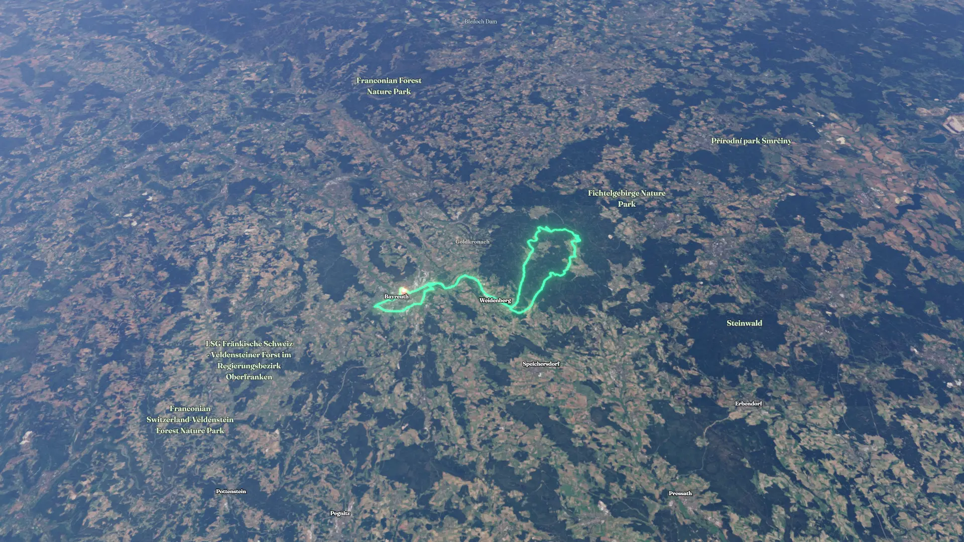
By the numbers
- Distance
- 84.6 km
- Ascent
- 999 m
- Descent
- 995 m
- Moving time
- 5h 20m
Elevation profile
339 m → 1,019 m
Drag across the profile to follow the route on the map.
More stats
- Avg speed (moving)
- 15.9 km/h
- Avg speed
- 9.0 km/h
- Time
- 9h 24m