

Mapdirector
Loading
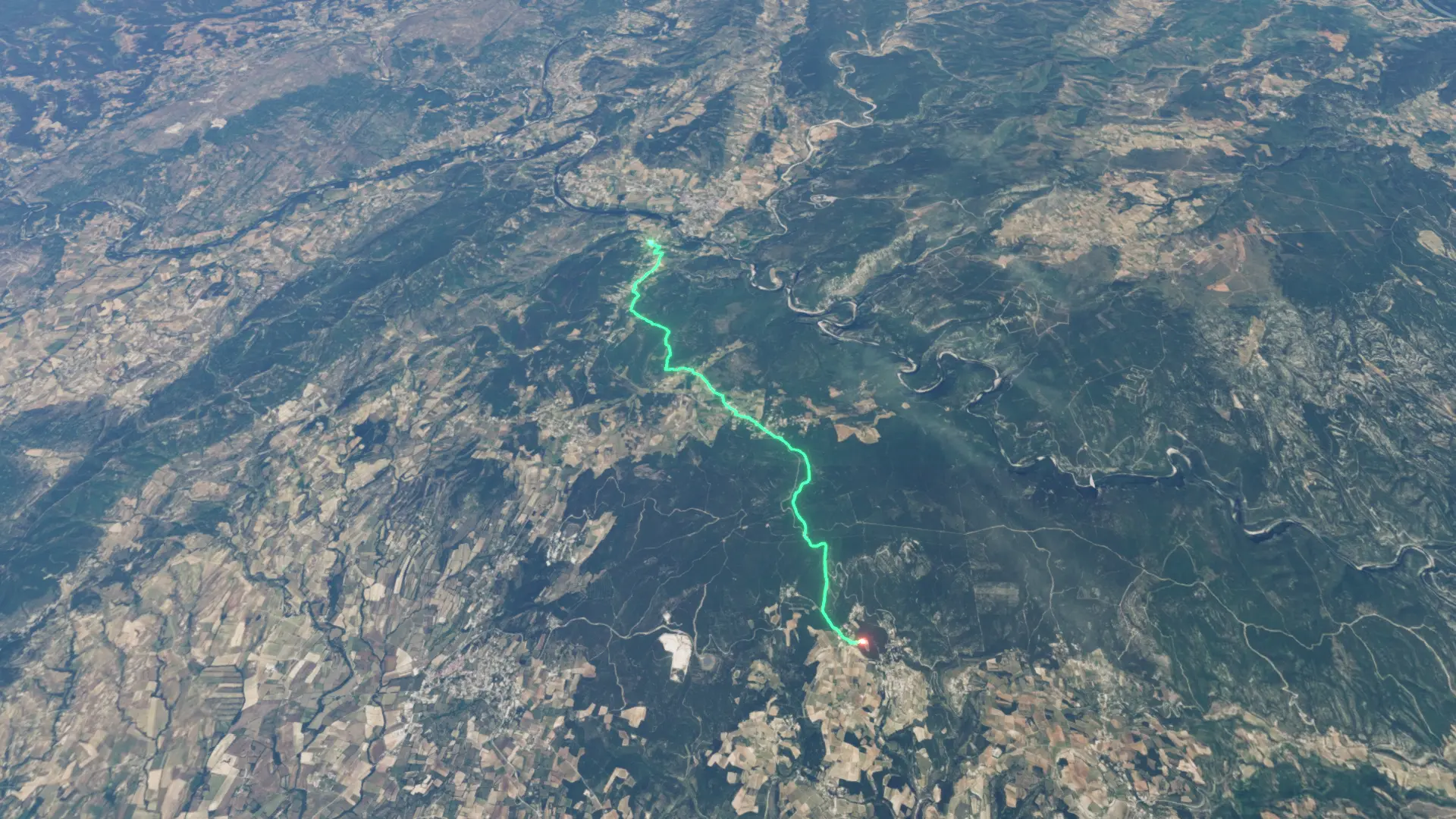
Salavas Hiking

Hike

Salavas Hiking

Jun 1, 2026

The story

A day walking on the GR4

The timeline

By the numbers

Distance
13.4 km
Ascent
370 m
Descent
170 m
Moving time
3h 47m

Elevation profile

97 m → 365 m

Drag across the profile to follow the route on the map.

More stats
Avg speed (moving)
3.5 km/h
Avg speed
2.1 km/h
Time
6h 24m
Avg cadence
46 rpm

Enjoyed this

Send it to someone

Your turn

Make a page like this from your own track

More from this explorer

See where else has been

Powered byMapdirector
  1. Mon, Jun 11.02 km · 8%·10:53

    10:53

    path through trees. Unfortunately ll you could see was lots of trees

  2. Mon, Jun 13.59 km · 27%·11:40

    11:40

    an old castle which had been extensively rebuilt

  3. Mon, Jun 17.22 km · 54%·13:13

    13:13

    very high cloud with ice causing iridescence