

Loading
Multi-day Hike
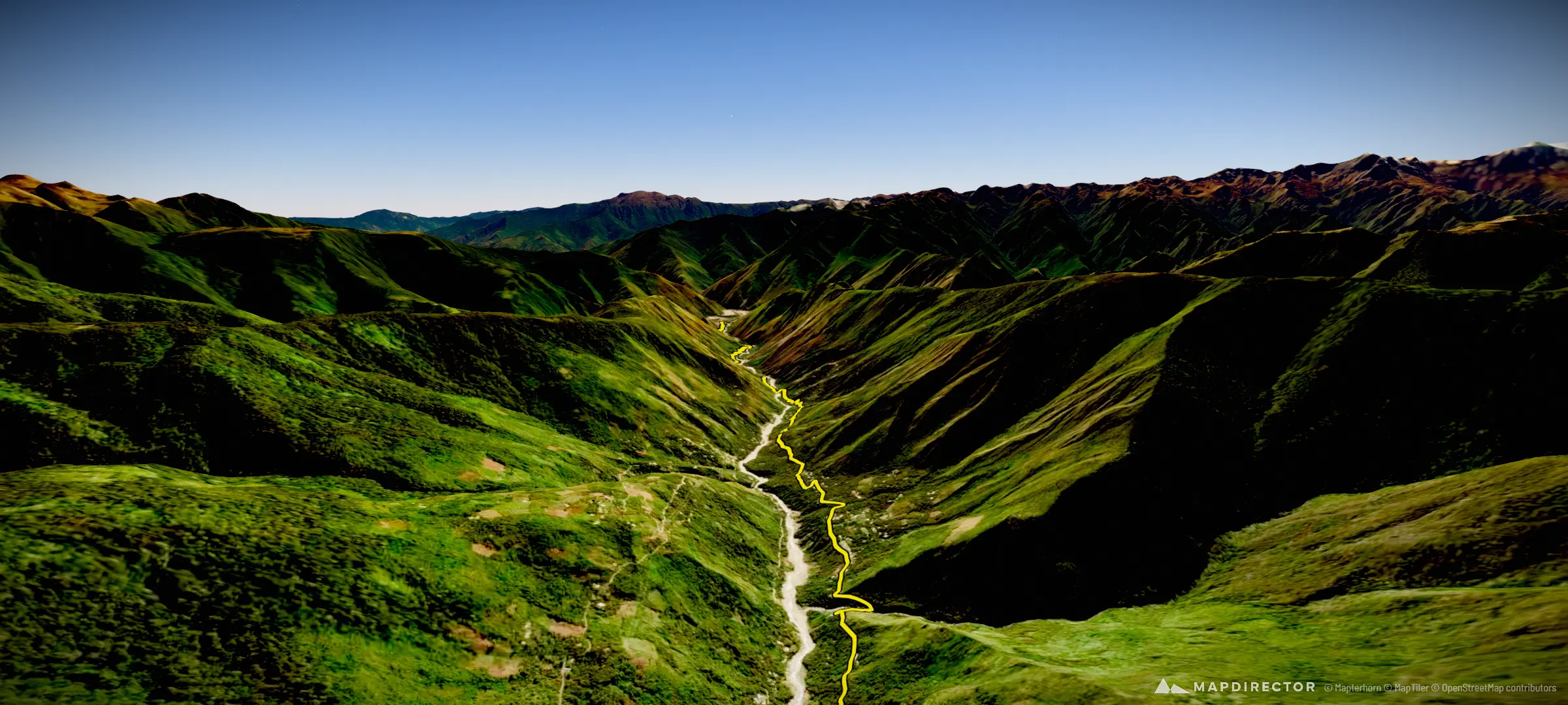
Salkantay Trek

Mapped by
MaxAndMatch
The timeline
By the numbers
- Distance
- 71.5 km
- Ascent
- 2,463 m
- Descent
- 4,264 m
- Moving time
- -
Elevation profile
1,524 m → 4,623 m
Drag across the profile to follow the route on the map.
More stats
Per leg
Refugio flor De Campancho to Soray 08645
- Distance
- 3.32 km
- Ascent
- 464 m
- Descent
- 31 m
- Moving
- -
Soray 08645 to Salka-Glamp Campsite
- Distance
- 4.45 km
- Ascent
- 256 m
- Descent
- 345 m
- Moving
- -
salkantay peak
- Distance
- 2.75 km
- Ascent
- 448 m
- Descent
- 20 m
- Moving
- -
-13.3441163 to Salkantay Lodge Collpapampa
- Distance
- 14.7 km
- Ascent
- 76 m
- Descent
- 1,840 m
- Moving
- -
Salkantay Lodge Collpapampa to 08710
- Distance
- 5.75 km
- Ascent
- 95 m
- Descent
- 432 m
- Moving
- -
08710 to Hidroelectrica
- Distance
- 30.6 km
- Ascent
- 648 m
- Descent
- 1,393 m
- Moving
- -
to mp
- Distance
- 9.93 km
- Ascent
- 476 m
- Descent
- 204 m
- Moving
- -