

Loading
Kayaking
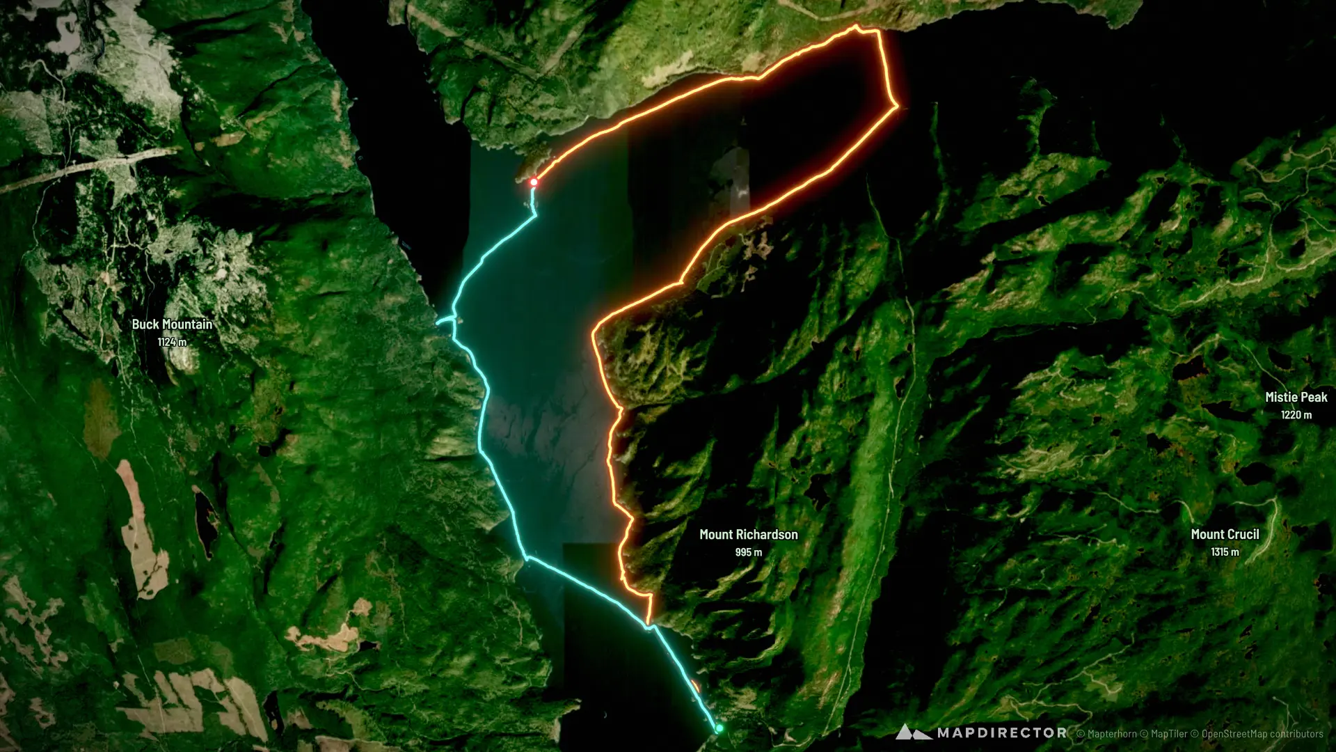
Sechelt Inlet 2026
Sep 12, 2026 – Sep 13, 2026

Mapped by
Katharine Ng
The timeline
By the numbers
- Distance
- 35.5 km
- Ascent
- 26 m
- Descent
- 25 m
- Moving time
- 7h 55m
Elevation profile
-1 m → 5 m
Drag across the profile to follow the route on the map.
More stats
- Avg speed (moving)
- 4.5 km/h
- Avg speed
- 3.5 km/h
- Time
- 10h 09m
- Avg heart rate
- 110 bpm
- Max heart rate
- 146 bpm
Per leg
Tuwanek to Kunechin
- Distance
- 22.7 km
- Ascent
- 15 m
- Descent
- 14 m
- Moving
- 4h 50m
- Avg speed
- 4.7 km/h
- Avg HR
- 115 bpm
- Max HR
- 146 bpm
Kunechin to Tuwanek
- Distance
- 12.7 km
- Ascent
- 11 m
- Descent
- 11 m
- Moving
- 3h 04m
- Avg speed
- 4.1 km/h
- Avg HR
- 102 bpm
- Max HR
- 141 bpm