

Loading
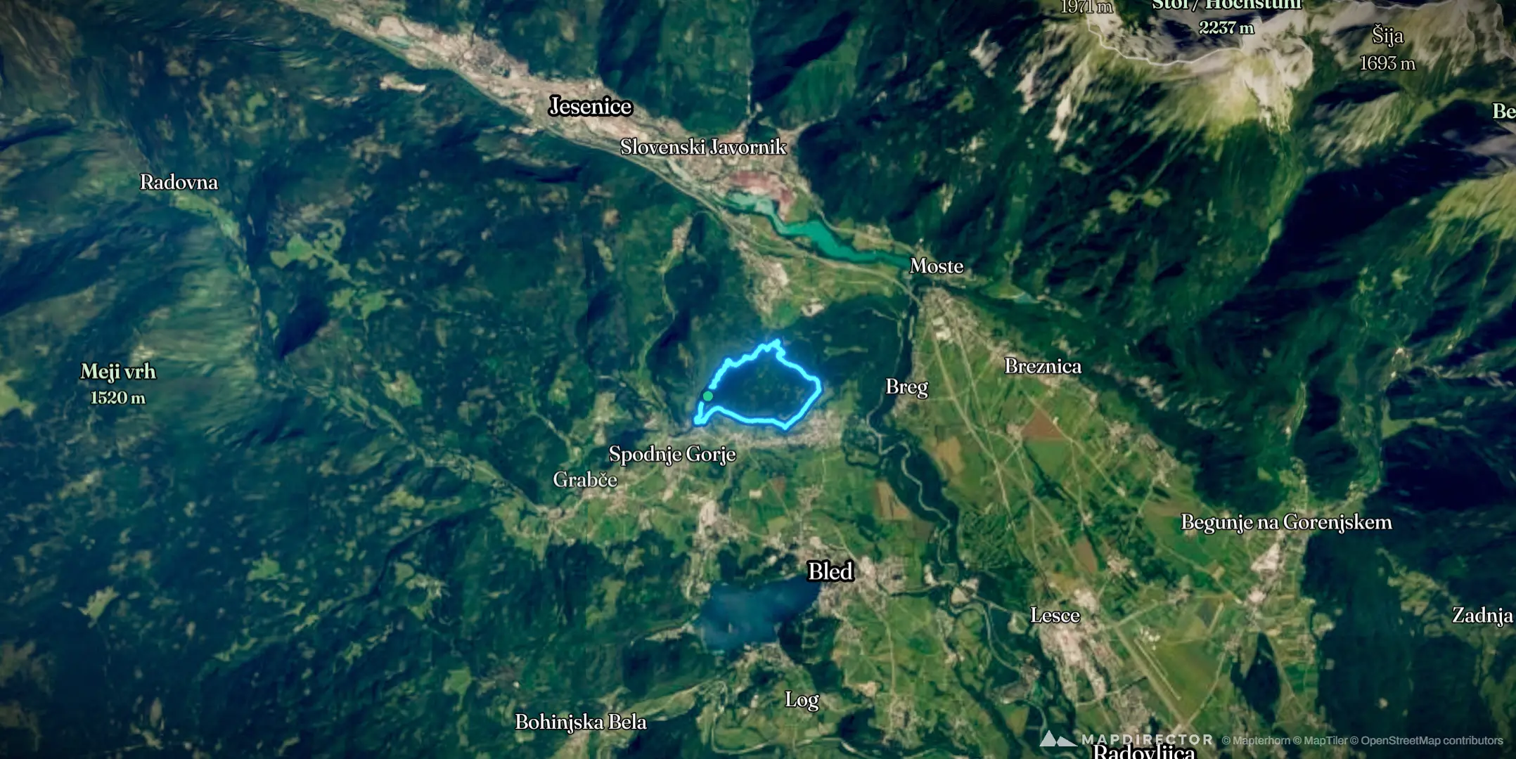
Soteska Vintgar Randonnée
Hike
Soteska Vintgar Randonnée
6 May 2026
The timeline
By the numbers
- Distance
- 7.55 km
- Ascent
- 128 m
- Descent
- 119 m
- Moving time
- 2h 09m
Elevation profile
518 m → 644 m
Drag across the profile to follow the route on the map.
More stats
- Avg speed (moving)
- 3.5 km/h
- Avg speed
- 3.3 km/h
- Time
- 2h 17m
- Avg cadence
- 53 rpm
- Avg temperature
- 21.1 °C