

Loading
Kayaking
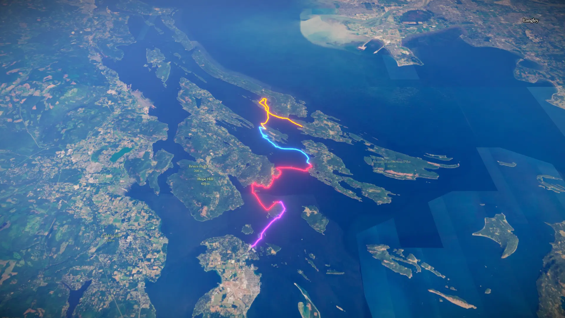
Southern Gulf Islands 2026
Aug 8, 2026 – Aug 12, 2026

Mapped by
Katharine Ng
The timeline
By the numbers
- Distance
- 58.5 km
- Ascent
- 96 m
- Descent
- 91 m
- Moving time
- 12h 18m
Elevation profile
-2 m → 6 m
Drag across the profile to follow the route on the map.
More stats
- Avg speed (moving)
- 4.7 km/h
- Avg speed
- 1.7 km/h
- Time
- 1d 09h 29m
- Avg heart rate
- 126 bpm
- Max heart rate
- 171 bpm
Per leg
Other
- Distance
- 18.3 km
- Ascent
- 44 m
- Descent
- 42 m
- Moving
- 3h 49m
- Avg speed
- 4.8 km/h
- Avg HR
- 141 bpm
- Max HR
- 161 bpm
Capital Regional District Flatwater
- Distance
- 13.5 km
- Ascent
- 29 m
- Descent
- 27 m
- Moving
- 3h 04m
- Avg speed
- 4.4 km/h
- Avg HR
- 125 bpm
- Max HR
- 171 bpm
Capital Regional District Flatwater
- Distance
- 19.1 km
- Ascent
- 20 m
- Descent
- 20 m
- Moving
- 3h 49m
- Avg speed
- 5.0 km/h
- Avg HR
- 123 bpm
- Max HR
- 155 bpm
Capital Regional District Flatwater
- Distance
- 7.60 km
- Ascent
- 4 m
- Descent
- 2 m
- Moving
- 1h 34m
- Avg speed
- 4.8 km/h
- Avg HR
- 114 bpm
- Max HR
- 145 bpm