

Loading
Walk
Šumava 2026
7 Sep 2026

Mapped by
Tomáš MAZUREK
The story
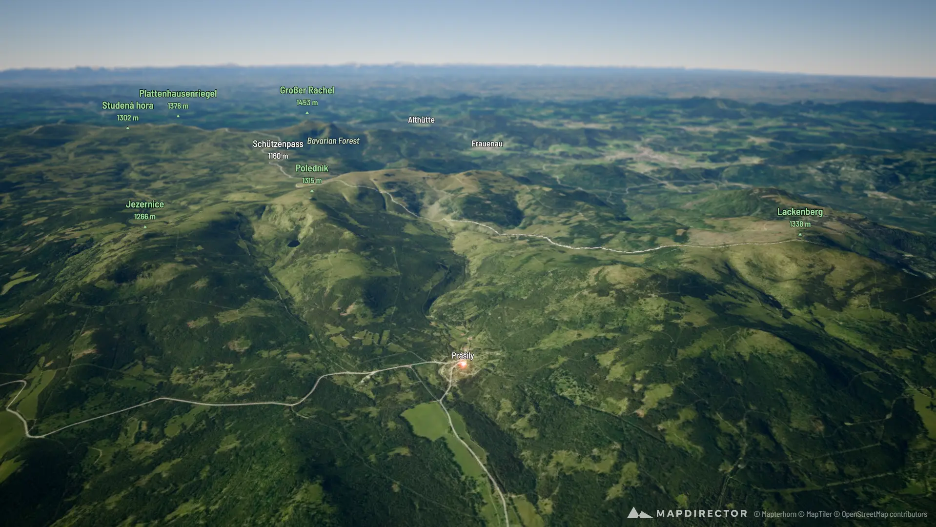
Prášilské jezero a Poledník
The timeline
By the numbers
- Distance
- 18,7 km
- Ascent
- 525 m
- Descent
- 523 m
- Moving time
- 5h 21m
Elevation profile
866 m → 1 316 m
Drag across the profile to follow the route on the map.
More stats
- Avg speed (moving)
- 3,5 km/h
- Avg speed
- 2,8 km/h
- Time
- 6h 45m
- Avg heart rate
- 107 bpm
- Max heart rate
- 164 bpm
- Avg cadence
- 48 rpm