

Loading
Multi-day Hike
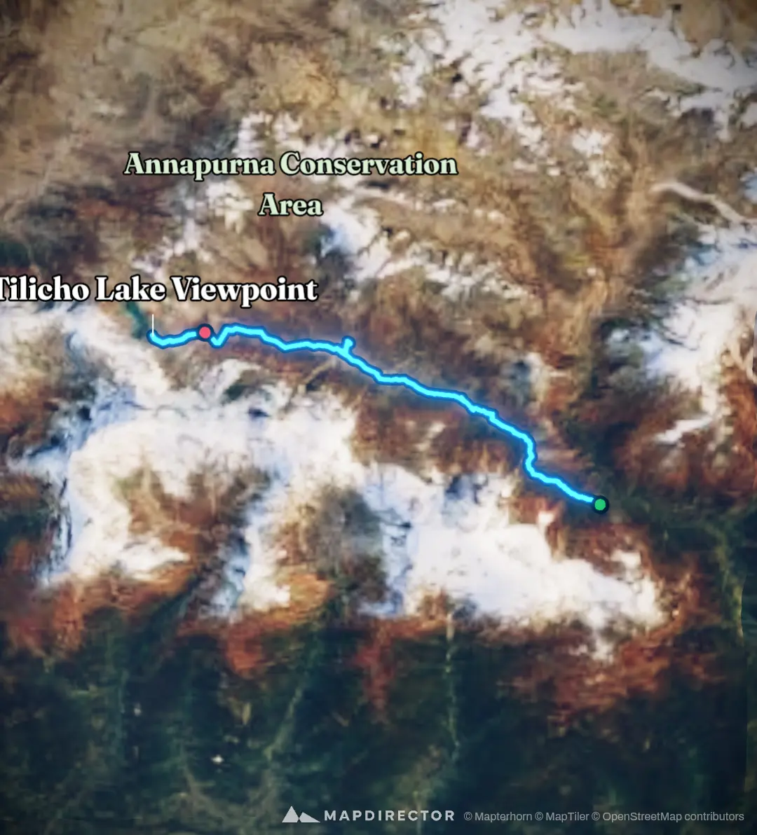
SUMMIT TILICHO LAKE 5000 MDPL - NEPAL

Mapped by
Hash76 wong
The timeline
By the numbers
- Distance
- 59.5 km
- Ascent
- 3,389 m
- Descent
- 1,912 m
- Moving time
- -
Elevation profile
2,664 m → 5,017 m
Drag across the profile to follow the route on the map.