

Loading
Walk
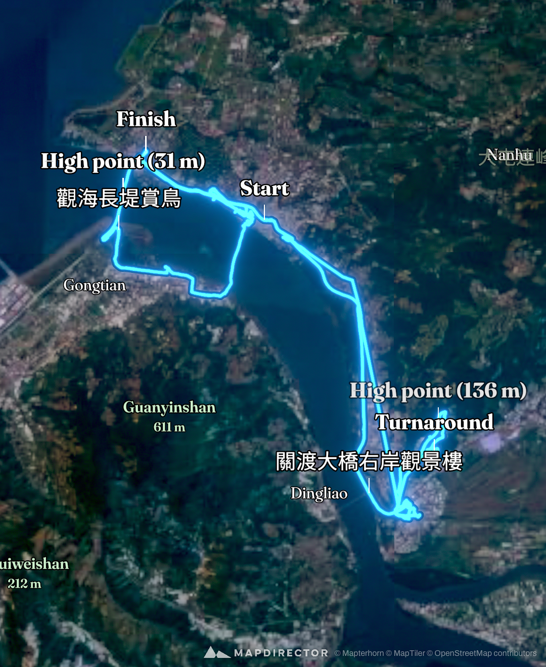
suuntoapp-EBiking-2026-07-07T00-24-24Z

Mapped by
蔡緗羚
The timeline
By the numbers
- Distance
- 38.7 km
- Ascent
- 271 m
- Descent
- 264 m
- Moving time
- -
Elevation profile
-3 m → 140 m
Drag across the profile to follow the route on the map.
Walk
Mapped by
蔡緗羚
The timeline
By the numbers
Elevation profile
-3 m → 140 m
Drag across the profile to follow the route on the map.
Not on the route
These photos have no position on the route.