

Loading
Hike
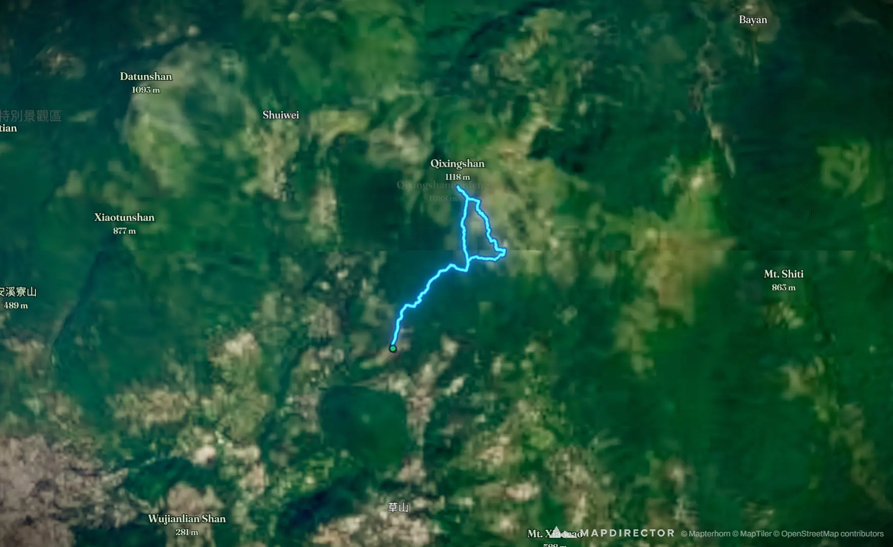
suuntoapp-Mountaineering-2026-08-07T23-45-41Z

Mapped by
郭玴甫
By the numbers
- Distance
- 5.84 km
- Ascent
- 613 m
- Descent
- 607 m
- Moving time
- -
Elevation profile
534 m → 1,125 m
Drag across the profile to follow the route on the map.
Hike
Mapped by
郭玴甫
By the numbers
Elevation profile
534 m → 1,125 m
Drag across the profile to follow the route on the map.