

Loading
Rafting
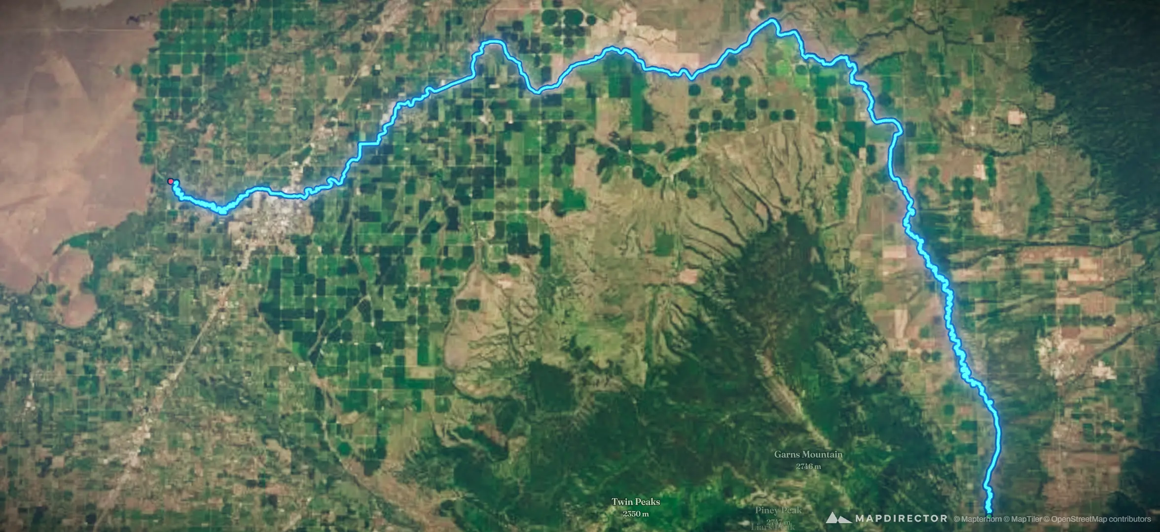
Teton River

Mapped by
Brett High
The timeline
By the numbers
- Distance
- 131 km
- Ascent
- 48 m
- Descent
- 412 m
- Moving time
- -
Elevation profile
1,468 m → 1,833 m
Drag across the profile to follow the route on the map.
Rafting
Mapped by
Brett High
The timeline
By the numbers
Elevation profile
1,468 m → 1,833 m
Drag across the profile to follow the route on the map.
Fri, Oct 145.18 km · 4%·12:32
Upper Teton River
16.7 km · 13%
Diverse trout assemblage
30.5 km · 23%
Wed, Oct 958.6 km · 45%·14:42
14:42
Tue, May 1381.5 km · 62%·15:13
Failure of Teton Dam - June 1976
Tue, Sep 27122 km · 94%·11:24
Lower Teton River