

Loading
Bikepacking
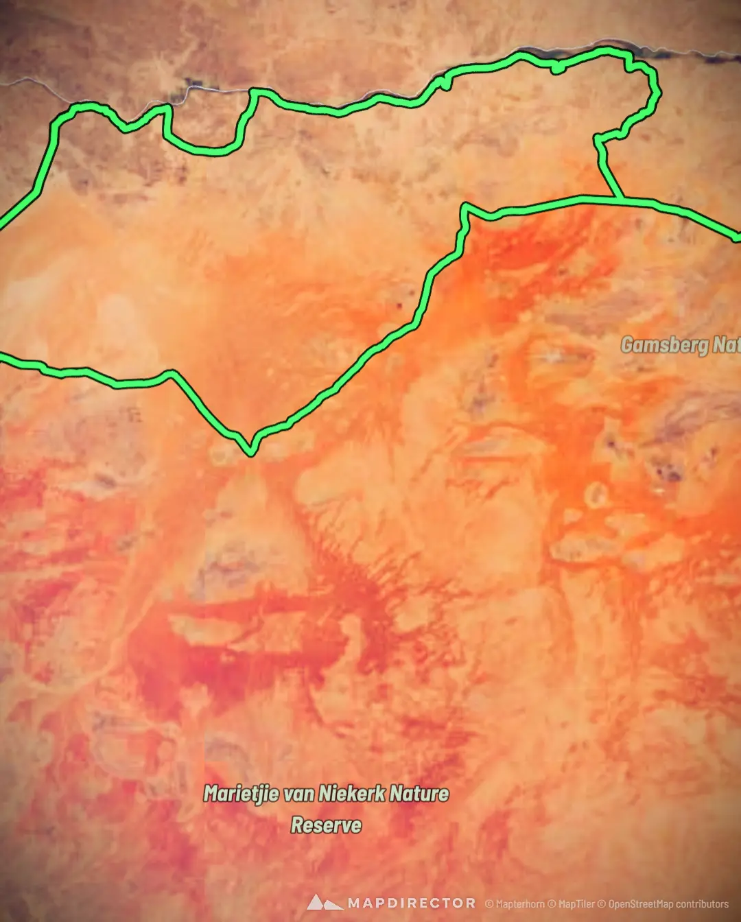
The Richtersveld Reset

Mapped by
Sean Fraenkel
The story
500km of sand, solitude and silence. No Phone, no drone, no caffeine. No easy rescue.
By the numbers
- Distance
- 561 km
- Ascent
- 4,237 m
- Descent
- 4,237 m
- Moving time
- -
Elevation profile
190 m → 1,130 m
Drag across the profile to follow the route on the map.