

Loading
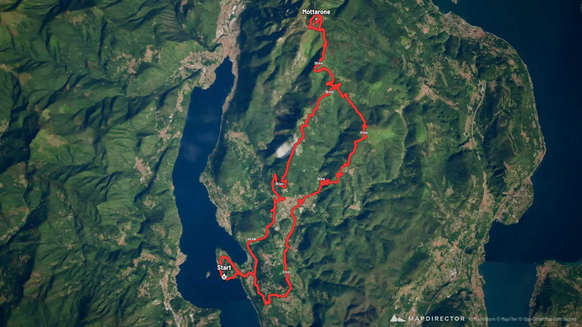
To The Mottarone
MTB
To The Mottarone
Sep 19, 2026
The story
Stupidest idea to date. Let’s see if I can ride to the top of the mountain… Well I can… but can I walk again tomorrow…
The timeline
By the numbers
- Distance
- 27.5 mi
- Ascent
- 4,421 ft
- Descent
- 4,422 ft
- Moving time
- 3h 07m
Elevation profile
984 ft → 4,890 ft
Drag across the profile to follow the route on the map.
More stats
- Avg speed (moving)
- 8.8 mph
- Avg speed
- 5.8 mph
- Time
- 4h 45m
- Avg temperature
- 73.6 °F