

Loading
Motorcycle
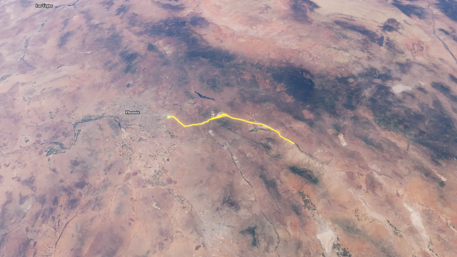
Track-Tracklog 2025-08-30
Aug 29, 2025 – Aug 30, 2025

By the numbers
- Distance
- 220 mi
- Ascent
- 8,295 ft
- Descent
- 8,306 ft
- Moving time
- 3h 49m
Elevation profile
1,423 ft → 4,565 ft
Drag across the profile to follow the route on the map.
More stats
- Avg speed (moving)
- 57.5 mph
- Avg speed
- 44.6 mph
- Time
- 4h 56m