

Loading
Multi-day Hike
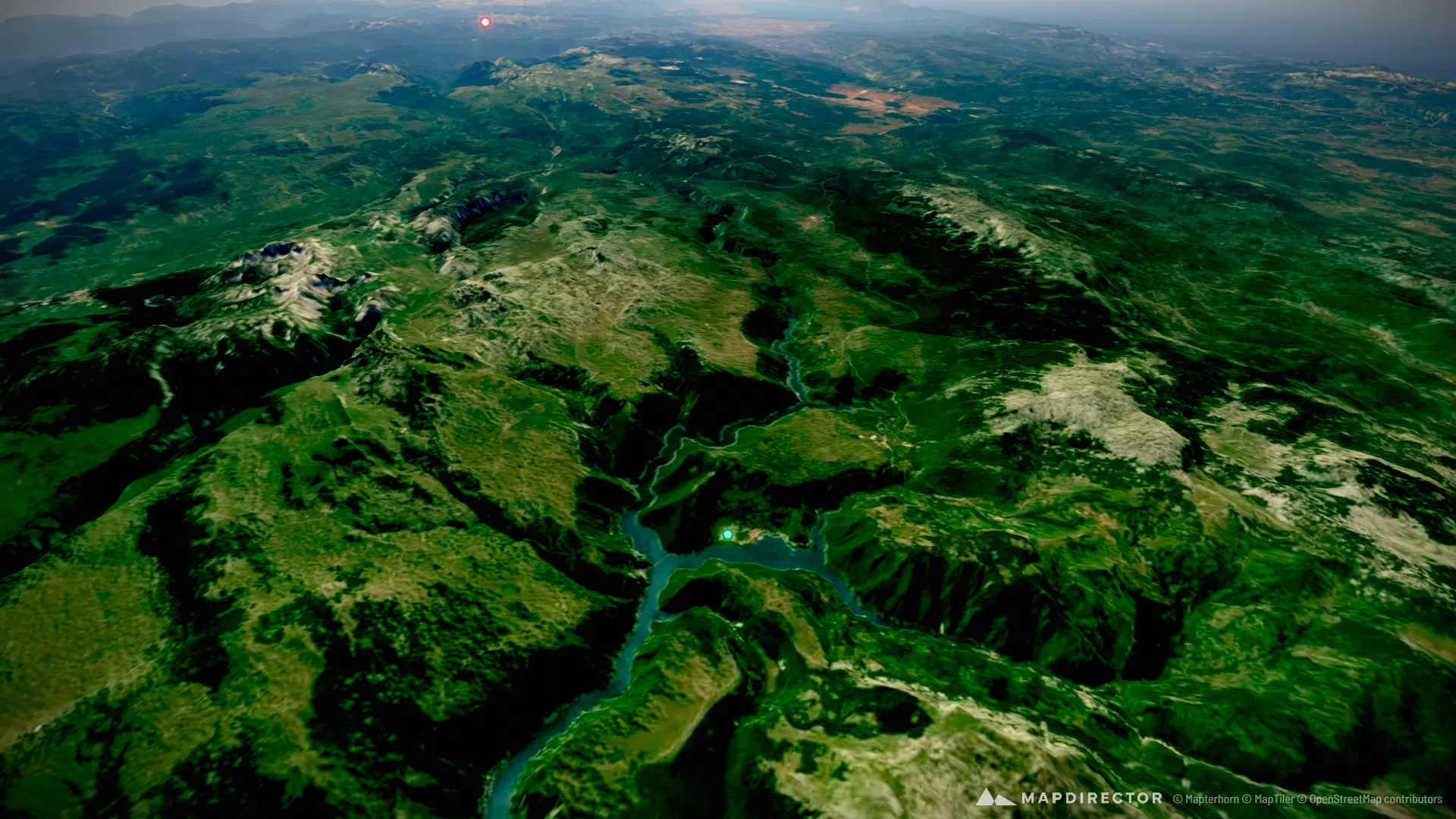
Via Dinarica Montenegro
Aug 22, 2026 – Aug 31, 2026

Mapped by
Andres Salinas
The story
20 km of distance and 735 m of elevation gain per day An approximate reconstructed route of 10 days hiking
The timeline
By the numbers
- Distance
- 204 km
- Ascent
- 7,347 m
- Descent
- 6,767 m
- Moving time
- 12h 12m
Elevation profile
646 m → 2,409 m
Drag across the profile to follow the route on the map.
More stats
- Avg speed (moving)
- 16.7 km/h
- Avg speed
- 0.9 km/h
- Time
- 9d 08h 00m