

Loading
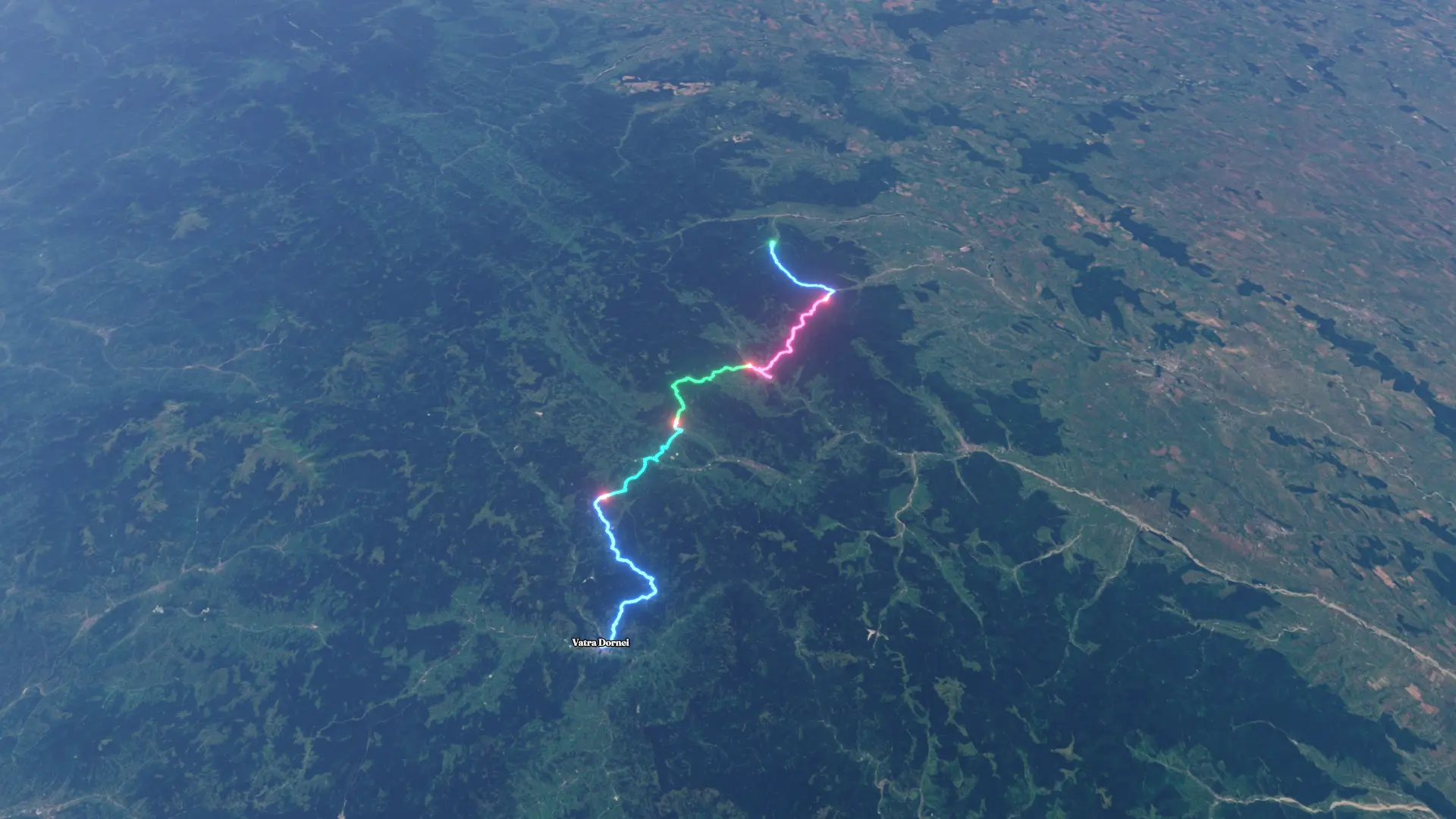
Via Transilvanica
Hike
Via Transilvanica
Jul 6, 2026 – Jul 10, 2026
The timeline
By the numbers
- Distance
- 109 km
- Ascent
- 4,128 m
- Descent
- 3,892 m
- Moving time
- 1d 02h 32m
Elevation profile
533 m → 1,338 m
Drag across the profile to follow the route on the map.
More stats
- Avg speed (moving)
- 4.1 km/h
- Avg speed
- 2.4 km/h
- Time
- 1d 21h 10m
Per leg
Day 1
- Distance
- 17.9 km
- Ascent
- 510 m
- Descent
- 494 m
- Moving
- 4h 02m
- Avg speed
- 4.4 km/h
Day 2
- Distance
- 26.8 km
- Ascent
- 1,054 m
- Descent
- 1,012 m
- Moving
- 7h 17m
- Avg speed
- 3.7 km/h
Day 3
- Distance
- 20.4 km
- Ascent
- 986 m
- Descent
- 794 m
- Moving
- 5h 43m
- Avg speed
- 3.6 km/h
Day 4
- Distance
- 18.0 km
- Ascent
- 900 m
- Descent
- 522 m
- Moving
- 4h 28m
- Avg speed
- 4.0 km/h
Day 5
- Distance
- 25.8 km
- Ascent
- 677 m
- Descent
- 1,070 m
- Moving
- 5h 00m
- Avg speed
- 5.2 km/h