

Loading
Walk
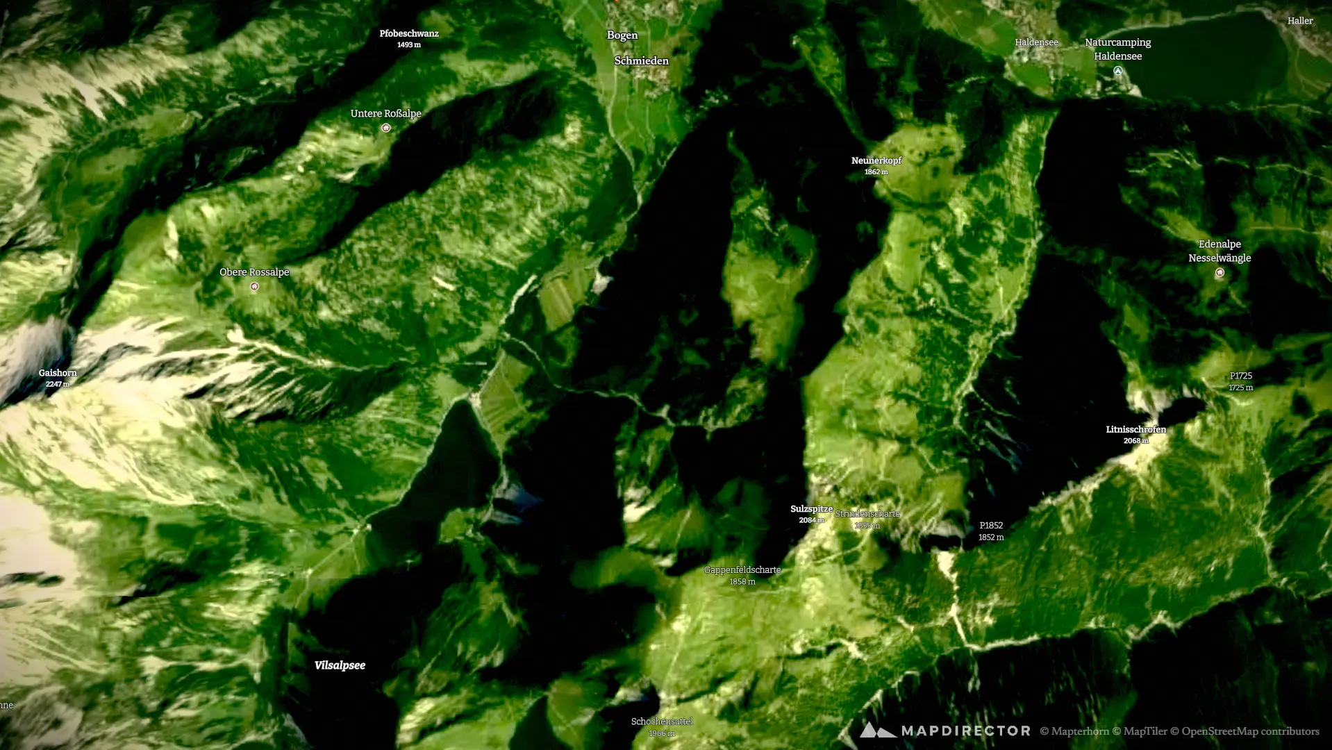
Von Tannheim zum Aggenstein und Bad Kissinger Hütte - via Höhenweg zum Füssener Jöchle und zu Fuß wieder runter.
12 Sep 2026

The story
Immer wieder eine tolle Tour - abhängig vom Wetter!
By the numbers
- Distance
- 22,5 km
- Ascent
- 964 m
- Descent
- 971 m
- Moving time
- 5h 09m
Elevation profile
1.091 m → 1.887 m
Drag across the profile to follow the route on the map.
More stats
- Avg speed (moving)
- 4,4 km/h
- Avg speed
- 3,1 km/h
- Time
- 7h 15m