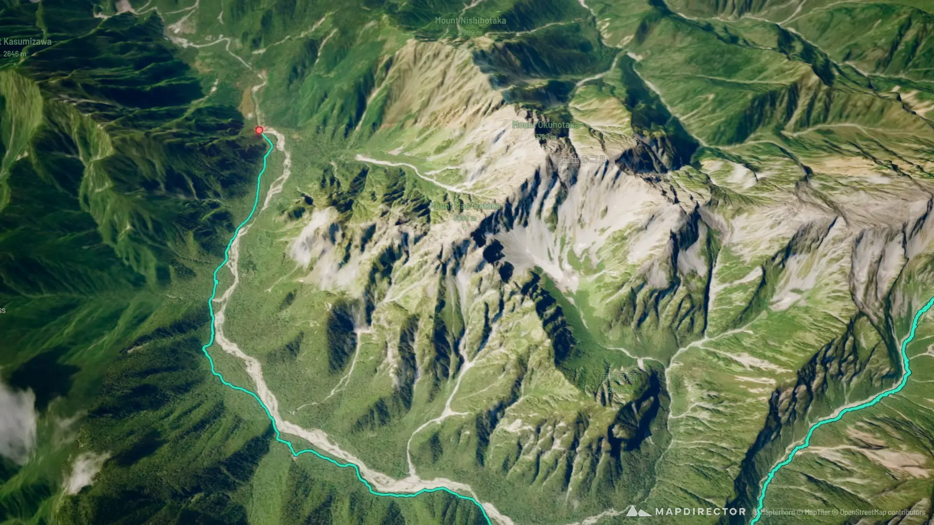


Loading
Hike
Yarigatake~Kamikochi 6:04AM
Sep 28, 2026

Mapped by
E-way Chieng
The story
Actual GPS data
The timeline
By the numbers
- Distance
- 20.5 km
- Ascent
- 253 m
- Descent
- 1,833 m
- Moving time
- 5h 46m
Elevation profile
1,507 m → 3,101 m
Drag across the profile to follow the route on the map.
More stats
- Avg speed (moving)
- 3.6 km/h
- Avg speed
- 3.0 km/h
- Time
- 6h 44m